Hidden hiking trails near Seoul less crowded alternatives 2026
Escape the crowds with these 7 hidden hiking trails near Seoul. Includes Ansan, Achasan, and Buramsan guides with transit details, difficulty, and trail times.
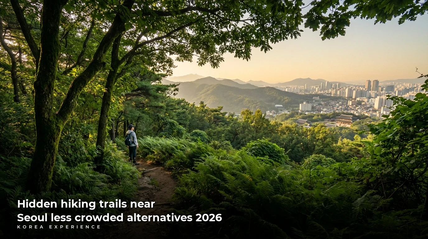
For travelers seeking solitude and nature without the overwhelming crowds of Bukhansan National Park, the best hidden hiking trails near Seoul are Ansan Jarak-gil (for accessibility), Achasan (for beginners and sunsets), Buramsan (for rock formations), and the backside of Inwangsan (for history). While Bukhansan draws over 5 million visitors annually, these alternatives offer spectacular city views, easier terrain, and a quieter atmosphere, often accessible within 30 to 45 minutes from central Seoul via subway.
The short answer: To escape the crowds, skip the main Bukhansan peaks and head to Ansan Jarak-gil for a barrier-free walk, Achasan for a 296m easy ridge hike, or Buramsan for a 508m moderate challenge with granite views.
Key Takeaways
- 1Ansan Jarak-gil offers a 7km barrier-free wooden deck path perfect for all fitness levels
- 2Achasan requires no special gear and connects directly to Yongmasan for a longer trek
- 3Most trails listed are accessible via subway lines 3, 5, and 7 within 40 minutes of downtown
Why You Should Look Beyond Bukhansan
Seoul is unique among global mega-cities because mountains cover approximately 25% of its total land area. While Bukhansan National Park is magnificent, it suffers from "over-tourism," especially on weekends. On a typical Saturday in spring or autumn, you may find yourself waiting in a queue just to reach the Baegundae Peak (836m).
For the international traveler, time is currency. Spending 3 hours in a queue diminishes the experience. The alternatives listed below not only save you time but offer a more intimate look at how locals enjoy their "Deungsan" (hiking) culture. These trails average a visitor density of 30-40% less than the major national parks, and most can be completed in under 3 hours, leaving you plenty of time to explore the city afterwards.
📊 Visitor Density Comparison
Ansan Jarak-gil: The Barrier-Free Wonder
Located in Seodaemun-gu, Ansan (295.9m) is often confused with Ansan City, but this mountain sits right in the heart of Seoul. It is the gold standard for accessible hiking in Korea. The "Jarak-gil" is a 7.0km raised wooden deck path that circles the entire mountain.
Why It's Special
The gradient here is kept below 9%, making it accessible for strollers, wheelchairs, and elderly hikers. It provides a dense forest experience with metasequoia trees that tower over 35 meters high. Unlike rugged trails, you can hike here in comfortable sneakers or walking shoes; heavy boots are unnecessary.
📋 Ansan Trail Facts
The Route and Views
The trail offers panoramic views of Inwangsan, Bukhansan, and the Blue House. The highlight is the Metasequoia Forest area, where you can rest on sunbeds installed by the district office. It is remarkably quiet compared to the chaotic trails of Northern Seoul.
📖 How to Hike Ansan Jarak-gil
Step 1: Start Point
Take Subway Line 3 to Dongnimmun Station, Exit 5.
Step 2: Find the Trailhead
Follow signs for the Lee Jin-ah Memorial Library. The wooden deck starts just behind the library.
Step 3: The Loop
Follow the yellow arrows on the ground. The loop brings you back to the start.
Pro Tip: Cherry Blossoms
In early April, Ansan is one of the best hidden spots for cherry blossoms. The path is lined with hundreds of trees, and because it's a mountain trail, it is far less crowded than Yeouido Park.
If you are traveling with family or those with limited mobility, this is the definitive choice. For more details on accessible travel, check out our guide on accessible Seoul routes.
Achasan: The Best Sunset and Night Hike
Achasan (295.7m), located in eastern Seoul (Gwangjin-gu), is the local favorite for a casual hike. It is famous for being the first place to see the sunrise in Seoul, but savvy travelers know it as the best sunset spot. The trail is mostly dirt and rock, with fewer stairs than other Seoul mountains.
The Vibe
Achasan feels like a neighborhood hangout. You will see locals hiking with their dogs (on leashes) and friends sharing gimbap on the flat rocks. The elevation gain is gentle, making it perfect for beginners. From the trailhead to the ridge, it takes only about 30-40 minutes.
Achasan Trailhead (Gwangnaru)(아차산)
The Night View
Once you reach the ridge (Goguryeo Pavilions), you are treated to a stunning view of the Han River curving through the city, with the illuminated Lotte World Tower piercing the sky. The juxtaposition of the dark river and the bright city lights is mesmerizing.
After hiking Achasan, don't go back down the same way. Continue towards Yongmasan if you have energy, or descend towards Achasan Station to visit the 'Tteokbokki Town' nearby. The famous 'Sinjeon Tteokbokki' originated near here, but the local street stalls are better.
Costs and Preparation
Hiking in Korea is a low-cost activity. Here is what you might spend for a hike at Achasan compared to a more commercialized tourist activity.
💵 Hiking vs. Tourist Tower Cost
30 min view
3 hour experience + food
For snacks, stop by a convenience store near the station. You can find our recommendations in our guide to Korean convenience store food.
Inwangsan: The Hidden Route (Muak-dong Side)
Inwangsan (338m) has become Instagram-famous for its fortress wall views. However, the main trail from Gyeongbokgung Station is often packed with tourists. The secret is to approach from the Muak-dong side (Hongje Station).
The Alternative Path
Instead of fighting crowds on the fortress stairs, take the trail starting near the Muak-jae Skybridge. This side of the mountain features interesting rock formations like the "Seonbawi" (Zen Rock) and offers a mystical, shamanistic atmosphere before joining the main ridge.
Inwangsan Routes Comparison
| Feature | Main Route (Gyeongbokgung) | Hidden Route (Hongje/Muak) |
|---|---|---|
| Crowd Level | High | Low |
| Stairs | Many (Fortress Wall) | Moderate (Forest Path) |
| Views | City Center | Seodaemun & Ansan |
| Photo Ops | Fortress Wall | Strange Rocks |
The hike takes approximately 90 minutes round trip. The view from the top is identical regardless of which side you ascend—a 360-degree panorama of Seoul, N Seoul Tower, and the Blue House.
Closed Mondays
While the mountain is generally open, certain sections of Inwangsan (specifically the path leading down toward the Blue House) may have restricted access on Mondays or for security reasons. Always check Naver Maps for current restrictions.
Buramsan: The Granite Giant
Located in Nowon-gu, Buramsan (508m) offers a completely different aesthetic. It is a "rock mountain" (Aksan), characterized by huge exposed granite slabs. It feels much higher and more rugged than its elevation suggests.
The Experience
Buramsan is less groomed than Ansan or Achasan. You will need proper footwear here—trail runners or hiking boots are recommended. The final ascent to the peak involves pulling yourself up using steel cables and rails (gloves are highly recommended, available at the trail entrance for ~₩2,000).
- Distance: Approx 5.5 km (Round trip)
- Calories Burned: ~600-700 kcal
- Transit: Sanggye Station (Line 4), Exit 1.
The view from the top is incredible. You can see the northern ridge of Bukhansan and Dobongsan in their full glory, without being inside the crowd.
Buramsan Pros and Cons
- ✓Thrilling cable/rail sections
- ✓Spectacular granite scenery
- ✓Very few tourists
- ✓Excellent workout
- ✗Requires better footwear
- ✗Can be slippery in rain
- ✗Steeper learning curve
If you enjoy the ruggedness of Buramsan, you might also like the adventure activities listed in our weekend getaways guide.
Cheonggyesan: The Fitness Challenge
Cheonggyesan (582m) in Seocho-gu is the preferred mountain for Gangnam residents. It is known as the "Stairmaster" of Seoul mountains. If you want a serious cardio workout while traveling, this is the spot.
Maebong Peak
The most popular peak is Maebong (582.5m). From the Cheonggyesan Station (Shinbundang Line), the trail is relentlessly steep, consisting mostly of wooden stairs—over 1,500 of them. It is not a "leisurely walk," but a fitness destination.
The Cheonggyesan Routine
Arrive
Cheonggyesan Station Exit 2. Buy water.
The Ascent
Start the stair climb. Pace yourself.
Maebong Peak
Photo at the summit rock. View of Gangnam/Lotte Tower.
Lunch
Descend and eat Dubu (Tofu) or Pajeon.
The crowd here is different—lots of young professionals in premium activewear. It’s a great place to see the modern side of Seoul hiking culture.
Practical Hiking Guide for Foreigners
Hiking in Korea comes with its own set of unwritten rules and practical necessities. To blend in and stay safe, follow this guide.
Navigation Apps
Google Maps is unreliable for hiking trails in Korea. You must use Naver Map or KakaoMap.
- Download Naver Map.
- Set language to English.
- Search for the mountain name (e.g., "Achasan").
- Switch to "Hiking" layer (usually a mountain icon) to see the trail lines.
Gear and Etiquette
You don't need North Face gear from head to toe (though Koreans love it).
- Clothing: Breathable layers. Winters (Dec-Feb) are brutal—wear thermals. Summers (Jul-Aug) are humid—bring extra water.
- Greeting: If you make eye contact, a nod or a "An-nyeong-ha-se-yo" is polite.
- Right of Way: Hikers going up generally have the right of way.
- Music: Do not play music on speakers. Use headphones. This is a major complaint against tourists.
Emergency Number
In case of injury or getting lost, dial 119. They have interpretation services available. Look for "State Point" markers (posts with numbers) on the trail to give your exact location.
Best Seasons
- Spring (April-May): Azaleas on Achasan and Buramsan are pink and purple explosions.
- Autumn (October-November): Crisp air and fiery foliage.
- Winter (January): Clearest skies. You can see all the way to Incheon on a good day.
- Summer: Only hike early morning (before 8 AM) to avoid heatstroke.
Post-Hike Culture: The Essential Dualism
In Korea, the hike isn't over until you've eaten. The culture of Dwipuri (after-party) is essential. The standard menu is Makgeolli (rice wine) and Pajeon (green onion pancake) or Dubu-kimchi (tofu with sautéed kimchi).
For Achasan, head to the "Tofu Town" near the entrance. The soft tofu is made fresh daily and costs around ₩8,000-10,000 per serving. For Cheonggyesan, the area under the Wonteogol entrance is lined with outdoor seating restaurants.
The Full Korean Experience
The Dualism Concept: Experience the best of both worlds — premium luxury moments paired with authentic budget-friendly experiences in one route.
The Hike
Physical exertion
The Meal
Makgeolli & BBQ Reward
Don't skip the meal. It is where you will connect with fellow hikers and experience the 'Jeong' (affection) of Korean culture.
If you are interested in more food recommendations, check our guide to best Korean BBQ restaurants.
Hoamsan: The Hidden Temple Route
Located in southern Seoul (Gwanak-gu), Hoamsan (393m) is technically part of the Gwanaksan range but functions as a separate, quieter entity. It is famous for the Hoapsa Temple.
The trail from Siheung-dong is gentle and features a "Deck Road" similar to Ansan, stretching about 2km. It leads to the temple, which offers a peaceful atmosphere and free vegetarian noodles (guksu) on Sundays around lunch time (donations appreciated).
The view looks out over Gwangmyeong and Geumcheon-gu, a different perspective from the Han River views of other mountains.
Sunset Spot
There is a helipad near the summit of Hoamsan that serves as an excellent, wide-open sunset viewing platform with almost zero crowds compared to N Seoul Tower.
Conclusion: Which Trail is For You?
Choosing a trail depends on your energy level and what you want to see.
- For pure relaxation & accessibility: Ansan Jarak-gil.
- For sunset & beginners: Achasan.
- For adventure & views: Buramsan.
- For a workout: Cheonggyesan.
- For history & mystery: Inwangsan (Muak side).
By stepping off the beaten path of Bukhansan, you gain not just solitude, but a deeper connection to the local rhythm of Seoul. You see the city not as a tourist looking at a guide, but as a resident looking at their home.
For more ideas on how to spend your time after the hike, why not explore a less frantic shopping district? Our guide to exploring independent bookstores offers a perfect way to cool down.
❓ Frequently Asked Questions
Have more questions?Contact us →
About the Author
Korea Experience Team
Written by the Korea Experience editorial team - experts in Korean medical tourism, travel, and culture with years of research and firsthand experience.
Explore more in Travel & Tourism
From Seoul's neon-lit streets to Jeju's volcanic landscapes — discover the best of Korea with insider travel tips, itineraries, and seasonal guides.
Browse All Travel & Tourism ArticlesContinue Reading
Explore more articles you might find interesting
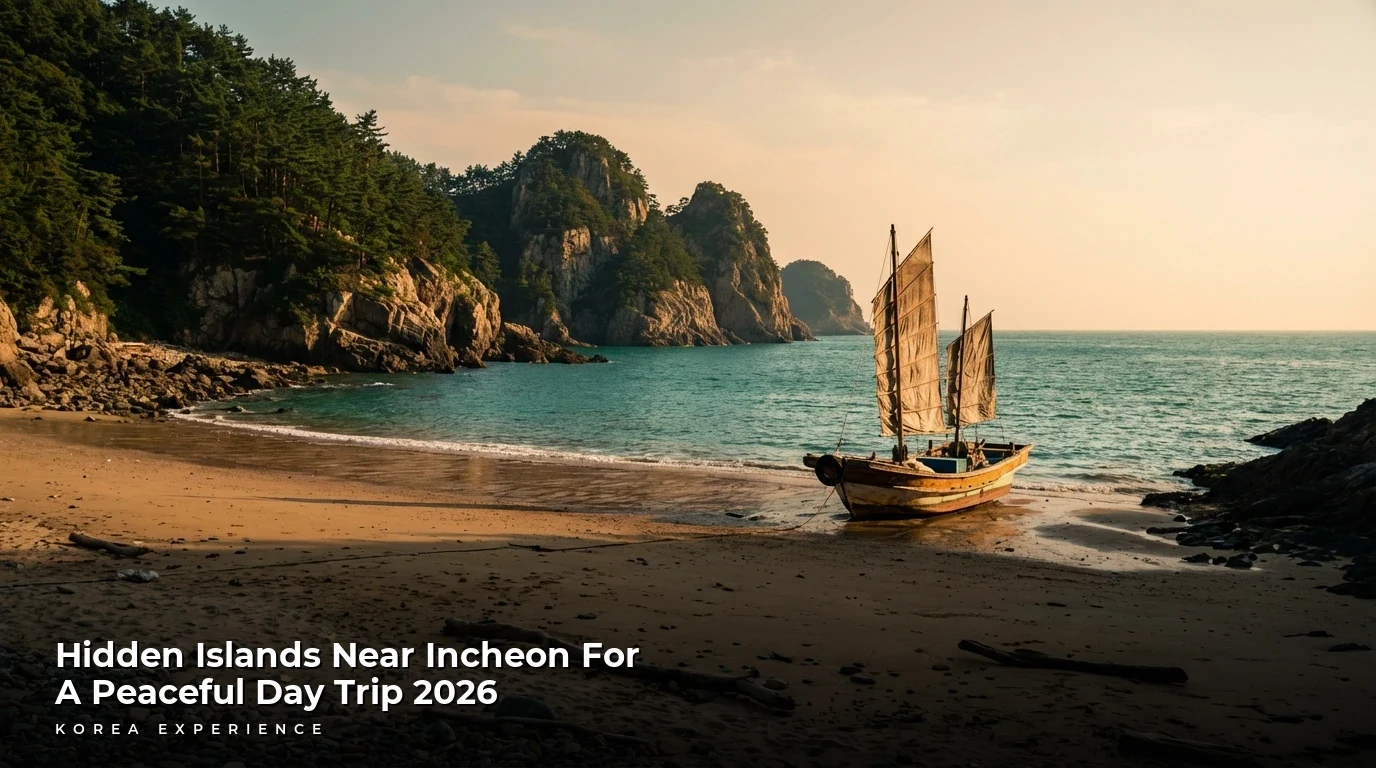
Escape Seoul's crowds to Incheon's hidden islands. Discover Deokjeokdo, Seonjaedo, and more with ferry schedules, ₩50,000 budgets, and travel tips.
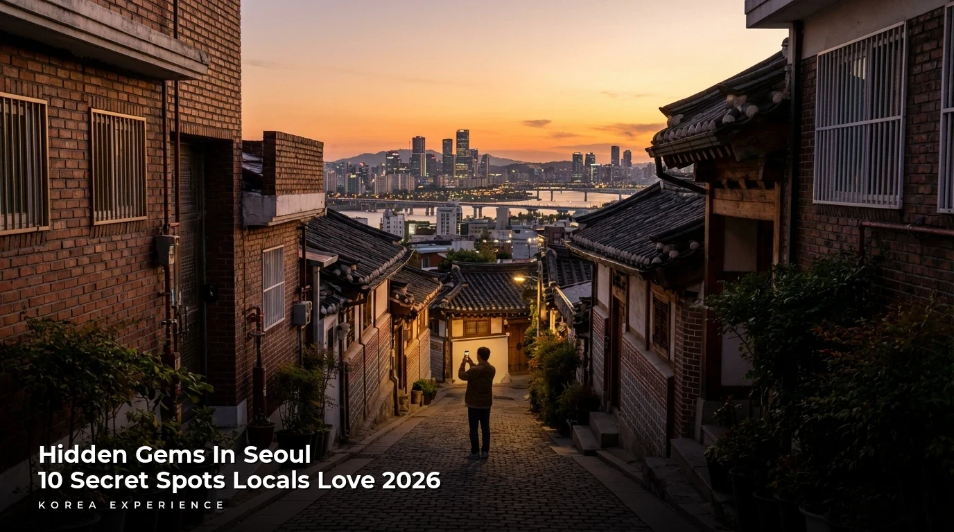
Discover Seoul's best-kept secrets beyond Myeongdong. From art hubs in Mullae (₩5,000 coffee) to sunset views in Huam-dong, explore the city like a local.
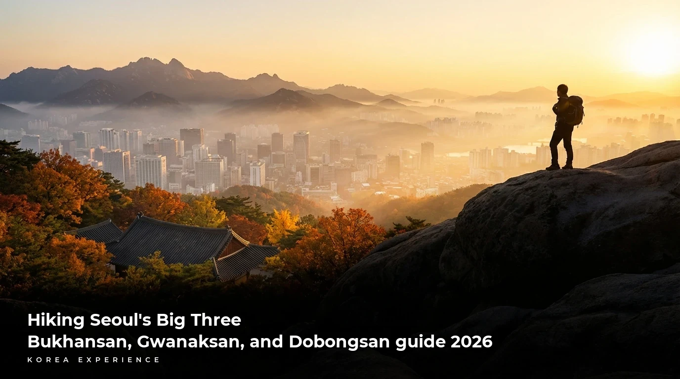
Master Seoul's top peaks in 2026. Complete guide to Bukhansan (836m), Gwanaksan, and Dobongsan with trail maps, transport costs under ₩2,000, and safety tips.
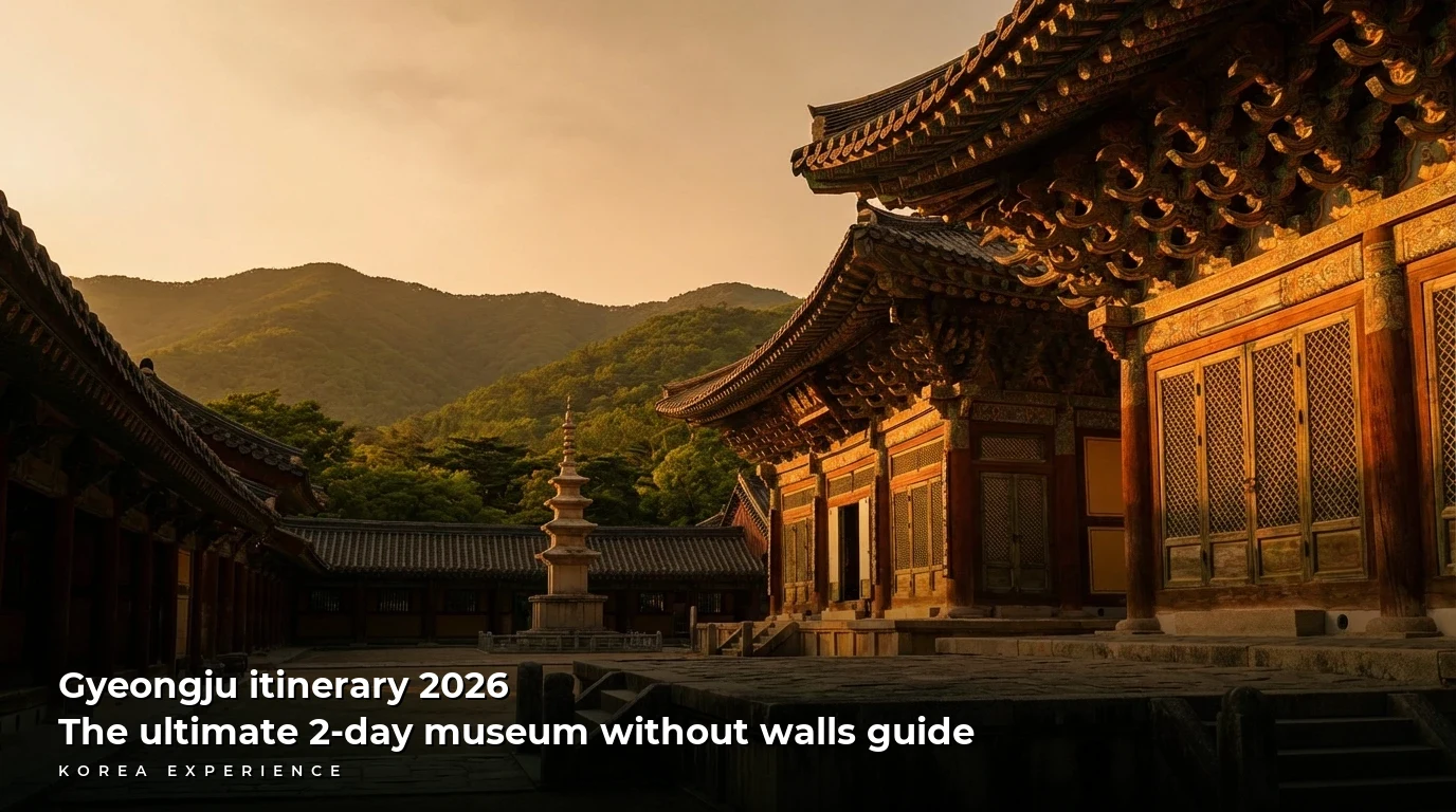
Explore Korea's ancient capital with this 2-day Gyeongju itinerary. Discover Bulguksa, royal tombs, and hip cafes. Total cost: ~$180 USD. Updated for 2026.
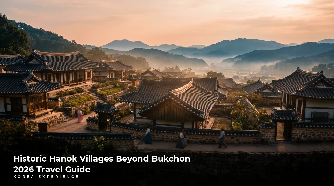
Discover 5 authentic Hanok villages beyond Bukchon. Explore Eunpyeong, Jeonju, and Andong with full price guides, travel times, and stay tips for 2026.
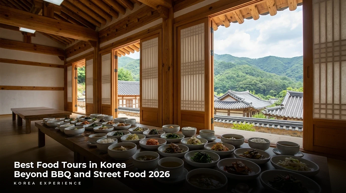
Discover Korea's culinary depth with our 2026 guide to food tours beyond BBQ. Explore temple food, makgeolli brewing, and royal cuisine starting at $45.